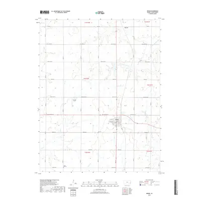
2018 Map of Moran
USGS Topo · Published 2018About this map
Moran serves as the central hub of this eastern Kansas landscape, situated at the junction of key regional thoroughfares in Allen County. The town grid is clearly defined, featuring streets named after local flora such as Cedar St, Birch St, and Pine St. The surrounding countryside is defined by a dense network of drainage, where the headwaters of the S Fork Little Osage River flow north and the Marmaton River system drains to the south.
Find a feature on this map
45 named features on this map. Tap any name to fly to it.
Don’t see what you’re looking for? This feature index may not catch every label — zoom into the map to look around manually.
Map Details
Editions of this 2018 Moran Map
This is the sole edition of this map. No revisions or reprints were ever made.
Other maps of this area

1885 · Garnett
USGS Topo · 1:125,000

1886 · Iola
USGS Topo · 1:125,000

1893 · Iola
USGS Topo · 1:125,000

1894 · Garnett
USGS Topo · 1:125,000

1904 · Iola
USGS Topo · 1:125,000

1947 · Lawrence
USGS Topo · 1:250,000

1947 · Joplin
USGS Topo · 1:250,000

1949 · Joplin
USGS Topo · 1:250,000

1950 · Lawrence
USGS Topo · 1:250,000

1954 · Joplin
USGS Topo · 1:250,000