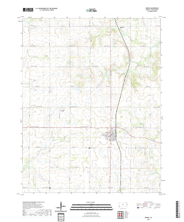
2022 Map of Moran
USGS Topo · Published 2022About this map
Moran serves as the central hub for this eastern Kansas landscape, where the agricultural grid is intersected by a complex drainage system flowing toward the S Fork Little Osage River and the Marmaton River. The map documents a rural environment organized by state-named thoroughfares such as Texas Rd and Rhode Island Rd, reflecting the formal township and range divisions of the plains. Genealogical interest is anchored by the Moran Cem south of the main settlement and the Golden Valley Cem to the southwest, while the presence of Ensminger Airport indicates the continued utility of small-scale aviation in this sparsely populated region. Small hamlets like Bayard in the northeast corner mark traditional community points along the watershed of Little Deer Cr and Coal Cr, illustrating the long-standing relationship between prairie settlement and reliable water sources.
Find a feature on this map
29 named features on this map. Tap any name to fly to it.
Don’t see what you’re looking for? This feature index may not catch every label — zoom into the map to look around manually.
Map Details
Editions of this 2022 Moran Map
This is the sole edition of this map. No revisions or reprints were ever made.
Other maps of this area

1885 · Garnett
USGS Topo · 1:125,000

1886 · Iola
USGS Topo · 1:125,000

1893 · Iola
USGS Topo · 1:125,000

1894 · Garnett
USGS Topo · 1:125,000

1904 · Iola
USGS Topo · 1:125,000

1947 · Lawrence
USGS Topo · 1:250,000

1947 · Joplin
USGS Topo · 1:250,000

1949 · Joplin
USGS Topo · 1:250,000

1950 · Lawrence
USGS Topo · 1:250,000

1954 · Joplin
USGS Topo · 1:250,000