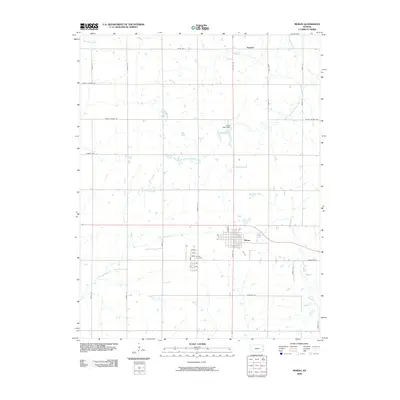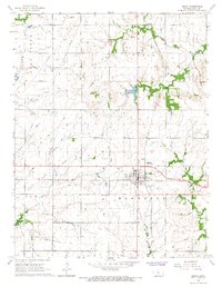
1966 Map of Moran
USGS Topo · Published 1967About this map
Moran serves as the central hub of this eastern Kansas landscape during the mid-1960s, situated at the intersection of two major rail lines. The Missouri Pacific and Missouri - Kansas - Texas railroads cross near the heart of town, reflecting a period when rail infrastructure remained vital to the local agricultural and extractive economy. The landscape is marked by diverse industrial activity, ranging from a large Oil Field and numerous Oil Wells to several Quarries and a Sewage Disposal site north of the town center.
Find a feature on this map
23 named features on this map. Tap any name to fly to it.
Don’t see what you’re looking for? This feature index may not catch every label — zoom into the map to look around manually.
Map Details
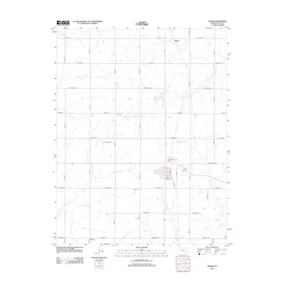
Editions of this 1966 Moran Map
This is the sole edition of this map. No revisions or reprints were ever made.
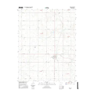
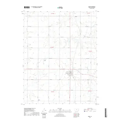
Historical Maps of Moran Through Time
6 maps found