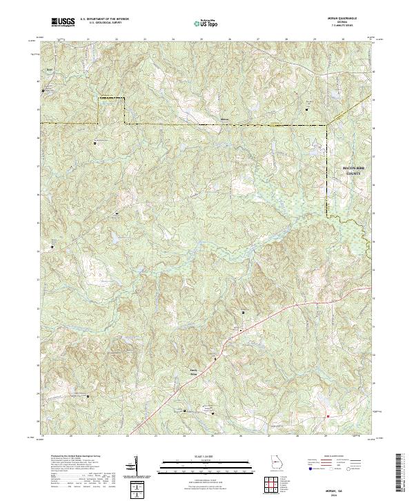
2024 Map of Moran
USGS Topo · Published 2024About this map
Echeconnee Creek and its many tributaries, including Little Echeconnee Creek and Jaguar Branch, dominate the drainage of this Georgia landscape where the borders of Monroe, Crawford, and Bibb counties meet. The settlement of Sandy Point serves as a local crossroads in the southern portion of the map, while Moran is situated further north along the county line. This map is particularly dense with family-named landmarks and cemeteries, reflecting a long-established rural community structure.
Find a feature on this map
69 named features on this map. Tap any name to fly to it.
Don’t see what you’re looking for? This feature index may not catch every label — zoom into the map to look around manually.
Map Details
Editions of this 2024 Moran Map
This is the sole edition of this map. No revisions or reprints were ever made.
Historical Maps of Hancock Subdivision Through Time
4 maps found