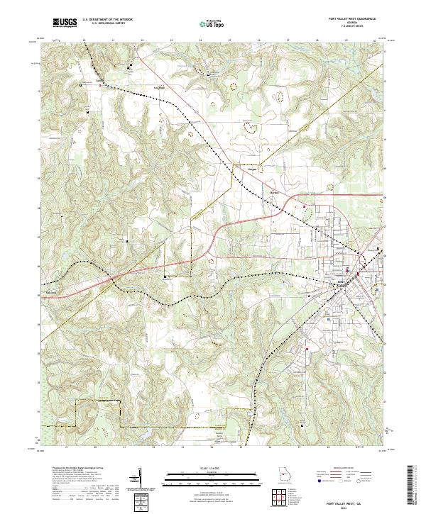
2024 Map of Fort Valley West
USGS Topo · Published 2024About this map
Fort Valley serves as a prominent hub where the Piedmont meets the coastal plain, anchored by the Peach County Courthouse and the campus of Fort Valley State University. This modern survey reveals a landscape deeply intertwined with its agricultural and community heritage, evidenced by the high density of rural cemeteries and small settlements. To the north and west, hamlets like Zenith, Lee Pope, and Nakomis are connected by a network of named roads such as Zenith Mill Rd and Lee Pope Rd. Significant church-affiliated landmarks, including Ross Chapel Cem and Cool Spring Baptist Church Cem, dot the terrain near water features like Indian Creek and Pierceson Lake. The geography transitions from the organized street grids of the county seat to the outlying Beckley Farms Airport near the southern border with Macon County.
Find a feature on this map
123 named features on this map. Tap any name to fly to it.
Don’t see what you’re looking for? This feature index may not catch every label — zoom into the map to look around manually.
Map Details
Editions of this 2024 Fort Valley West Map
This is the sole edition of this map. No revisions or reprints were ever made.
Other maps of this area

1955 · Phenix City
USGS Topo · 1:250,000

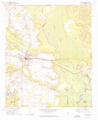
1956 · Fort Valley
USGS Topo · 1:62,500

1957 · Phenix City
USGS Topo · 1:250,000

1957 · Macon
USGS Topo · 1:250,000

1958 · Macon
USGS Topo · 1:250,000

1958 · Phenix City
USGS Topo · 1:250,000

1964 · Macon
USGS Topo · 1:250,000
1971 · Reynolds
USGS Topo · 1:24,000
1971 · Roberta
USGS Topo · 1:24,000
1971 · Garden Valley
USGS Topo · 1:24,000