
1971 Map of Reynolds
USGS Topo · Published 1973About this map
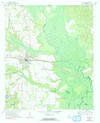
Reynolds serves as a central hub for this Taylor County landscape, where the Central of Georgia railroad cuts a straight line across the river basin. The terrain is defined by the massive Magnolia Swamp and the winding Flint River, which forms several county boundaries as it meanders through the eastern portion of the sheet. To the south, industrial and agricultural patterns emerge near Potterville, characterized by Taylor Mill Lake and several industrial waste ponds.
Find a feature on this map
37 named features on this map. Tap any name to fly to it.
Don’t see what you’re looking for? This feature index may not catch every label — zoom into the map to look around manually.
Map Details
Editions of this 1971 Reynolds Map
2 editions found
Other maps of this area

1955 · Phenix City
USGS Topo · 1:250,000

1956 · Fort Valley
USGS Topo · 1:62,500

1957 · Phenix City
USGS Topo · 1:250,000

1957 · Macon
USGS Topo · 1:250,000

1958 · Macon
USGS Topo · 1:250,000

1958 · Phenix City
USGS Topo · 1:250,000

1964 · Macon
USGS Topo · 1:250,000

1971 · Fickling Mill
USGS Topo · 1:24,000
1971 · Roberta
USGS Topo · 1:24,000

1971 · Ideal North
USGS Topo · 1:24,000