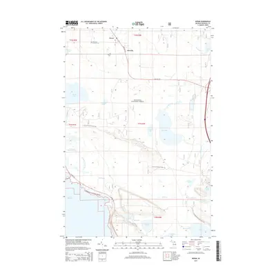
2014 Map of Moran
USGS Topo · Published 2014About this map
Moran and Allenville sit within the interior of the Upper Peninsula, positioned along the corridor of State HWY 123 as it cuts through the Hiawatha National Forest. The landscape is defined by an intricate network of wetlands and small lakes, including Hay Lake, Cranberry Lake, and the expansive Pointe aux Chenes Marshes that border the Lake Michigan shoreline at Poupard Bay. Genealogy and local history are anchored by the Immaculate Conception Cem and Brevort Cem, located near the northern settlements. The map also traces the modern path of the N Country National Scenic Trail as it meanders through the forest and across various creeks like Martineau Cr and Summerby Cr. This area represents a classic Michigan Northwoods environment where timber and drainage patterns dictate the placement of roads and small communities.
Find a feature on this map
39 named features on this map. Tap any name to fly to it.
Don’t see what you’re looking for? This feature index may not catch every label — zoom into the map to look around manually.
Map Details
Editions of this 2014 Moran Map
This is the sole edition of this map. No revisions or reprints were ever made.
Other maps of this area

1931 · St Ignace NW
USGS Topo · 1:31,680

1931 · Moran NE
USGS Topo · 1:31,680

1931 · Ozark SE
USGS Topo · 1:31,680

1948 · Moran NE
USGS Topo · 1:31,680

1948 · Moran NW
USGS Topo · 1:31,680

1954 · Sault Sainte Marie
USGS Topo · 1:250,000

1955 · Cheboygan
USGS Topo · 1:250,000

1956 · Sault Sainte Marie
USGS Topo · 1:250,000

1957 · Sault Sainte Marie
USGS Topo · 1:250,000

1958 · Cheboygan
USGS Topo · 1:250,000