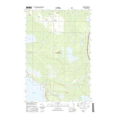
2017 Map of Moran
USGS Topo · Published 2017About this map
Moran and Allenville sit at the northern edge of this landscape, serving as small hubs of human activity within the larger expanse of the Hiawatha National Forest. This 2017 survey reveals a complex wetland environment characterized by the extensive Pointe aux Chenes Marshes and the winding Pointe aux Chenes River which drains toward Lake Michigan. The presence of the Immaculate Conception Cem and Brevort Township Cem near the settlements provides valuable touchpoints for genealogists researching families from this part of Mackinac County.
Find a feature on this map
38 named features on this map. Tap any name to fly to it.
Don’t see what you’re looking for? This feature index may not catch every label — zoom into the map to look around manually.
Map Details
Editions of this 2017 Moran Map
This is the sole edition of this map. No revisions or reprints were ever made.
Other maps of this area

1931 · St Ignace NW
USGS Topo · 1:31,680

1931 · Moran NE
USGS Topo · 1:31,680

1931 · Ozark SE
USGS Topo · 1:31,680

1948 · Moran NE
USGS Topo · 1:31,680

1948 · Moran NW
USGS Topo · 1:31,680

1954 · Sault Sainte Marie
USGS Topo · 1:250,000

1955 · Cheboygan
USGS Topo · 1:250,000

1956 · Sault Sainte Marie
USGS Topo · 1:250,000

1957 · Sault Sainte Marie
USGS Topo · 1:250,000

1958 · Cheboygan
USGS Topo · 1:250,000