
1935 Map of Morgan City
USGS Topo · Published 1935About this map
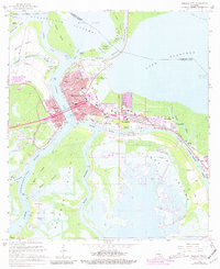
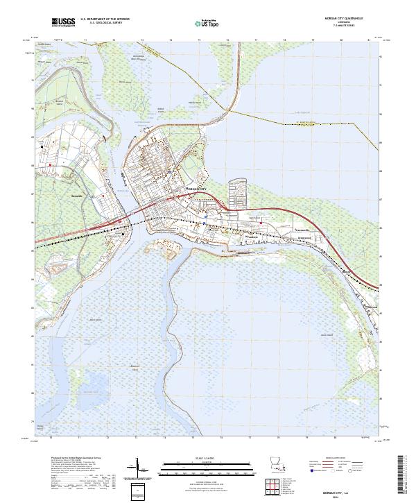
The deltaic landscape of the Lower Atchafalaya River and Berwick Bay dominates this mid-1930s survey, illustrating a critical junction of South Louisiana water and rail traffic. The city of Morgan City and the neighboring town of Berwick serve as the hub for the Southern Pacific RR and the storied Old Spanish Trail. Surrounding these centers are numerous plantations and rural settlements like Fairview Plantation and Bayou Black Settlement, often established along the high ground of ridges and bayous.
Find a feature on this map
92 named features on this map. Tap any name to fly to it.
Don’t see what you’re looking for? This feature index may not catch every label — zoom into the map to look around manually.
Map Details
Editions of this 1935 Morgan City Map
This is the sole edition of this map. No revisions or reprints were ever made.
Historical Maps of Morgan City Through Time
11 maps found
1935 Morgan City
St. Mary Parish, LA

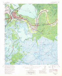
1954 Morgan City
St. Mary Parish, LA
1966 Morgan City
St. Mary Parish, LA
1967 Morgan City
St. Mary Parish, LA

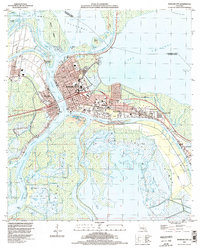
1983 Morgan City
St. Mary Parish, LA
1994 Morgan City
St. Mary Parish, LA
2012 Morgan City
St. Mary Parish, LA
2015 Morgan City
St. Mary Parish, LA
2018 Morgan City
St. Mary Parish, LA
2020 Morgan City
St. Mary Parish, LA
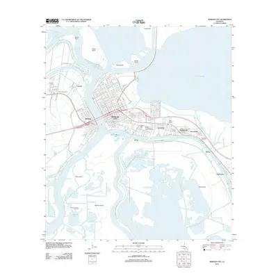
2024 Morgan City
St. Mary Parish, LA