
1892 Map of Gibson
USGS Topo · Published 1892About this map
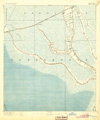
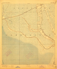
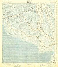
The low-lying wetlands of southern Louisiana are defined here by a intricate network of waterways and the emerging industrial footprint of the late nineteenth century. Surveyed under the direction of H. L. Baldwin Jr., this region shows the critical intersection of natural bayous and iron-rail commerce. The Southern Pacific Railroad cuts a straight line across the landscape, connecting the small settlements of Gibson, Chacahoula, and Schriever.
Find a feature on this map
15 named features on this map. Tap any name to fly to it.
Don’t see what you’re looking for? This feature index may not catch every label — zoom into the map to look around manually.
Map Details
Editions of this 1892 Gibson Map
4 editions found
Other maps of this area

1892 · Lac Des Allemands
USGS Topo · 1:62,500

1892 · Houma
USGS Topo · 1:62,500

1892 · Thibodaux
USGS Topo · 1:62,500

1894 · Bayou De Large
USGS Topo · 1:62,500

1894 · Dulac
USGS Topo · 1:62,500

1897 · Gibson
USGS Topo · 1:62,500

1932 · Lake Decade
USGS Topo · 1:62,500

1932 · Lac Des Allemands SW
USGS Topo · 1:31,680

1932 · Houma SW
USGS Topo · 1:31,680

1932 · Houma NW
USGS Topo · 1:31,680