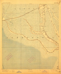
1892 Map of Gibson
USGS Topo · Published 1914About this map
Bayou Black defines the drainage and settlement patterns of this corner of Louisiana in the late nineteenth century. In this low-lying landscape, human activity clings to the higher ground along the natural levees of the watercourses. The Southern Pacific Railroad cuts a straight line across the wetlands, connecting the small settlements of Gibson, Chacahoula, and Schriever. The map reveals a distinct transition from the narrow ribbons of development along the bayous to the expansive marshes that dominate the southern and western portions of the survey area. Smaller hubs like Mc Bride and Ellendale appear along the banks of the waterways, where agriculture and early industry were most sustainable before the advent of modern drainage systems. Significant water bodies such as Bayou Blue and Bayou Tiger further illustrate the intricate hydrologic network of Terrebonne and Lafourche parishes.
Find a feature on this map
14 named features on this map. Tap any name to fly to it.
Don’t see what you’re looking for? This feature index may not catch every label — zoom into the map to look around manually.
Map Details
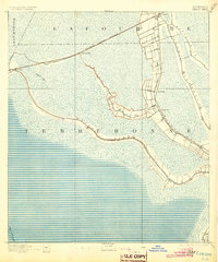
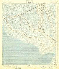
Editions of this 1892 Gibson Map
4 editions found
Other maps of this area

1892 · Lac Des Allemands
USGS Topo · 1:62,500

1892 · Gibson
USGS Topo · 1:62,500

1892 · Houma
USGS Topo · 1:62,500

1892 · Thibodaux
USGS Topo · 1:62,500

1894 · Bayou De Large
USGS Topo · 1:62,500

1894 · Dulac
USGS Topo · 1:62,500

1897 · Gibson
USGS Topo · 1:62,500

1932 · Lake Decade
USGS Topo · 1:62,500

1932 · Lac Des Allemands SW
USGS Topo · 1:31,680

1932 · Houma SW
USGS Topo · 1:31,680