Loading...
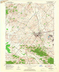
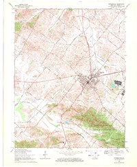
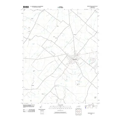
Loading map...1949 Map of Morganfield
USGS Topo · Published 1966About this map
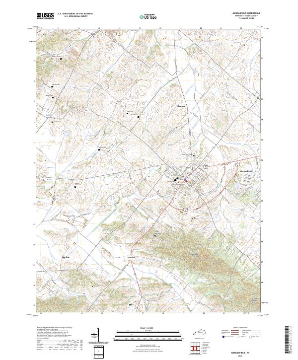
The Camp Breckinridge Military Reservation dominates the southeast portion of this landscape, its presence felt in the sharp Military Reservation Boundary that cuts across the terrain. The city of Morganfield serves as the regional hub, where the Illinois Central railroad intersects with a burgeoning urban grid that includes a Filtration Plant and Sewage Disposal facilities.
Find a feature on this map
38 named features on this map. Tap any name to fly to it.
Don’t see what you’re looking for? This feature index may not catch every label — zoom into the map to look around manually.
Map Details
Date Portrayed1949
Date Published1966
PublisherU.S. Geological Survey
Map TypeTopographic
Scale1:24,000
Physical Dimensions22.3 x 27.2 inches
Editions of this 1949 Morganfield Map
This is the sole edition of this map. No revisions or reprints were ever made.
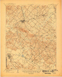
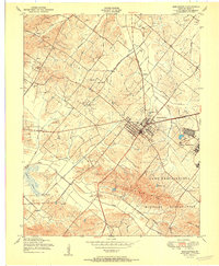
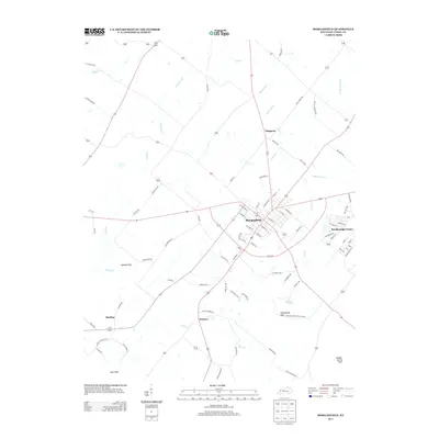
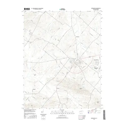
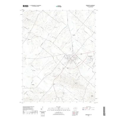
Historical Maps of Morganfield Through Time
9 maps found
Featured Locations
Source Details
SourceU.S. Geological Survey
CopyrightPublic Domain