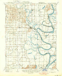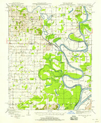
1949 Map of New Haven
USGS Topo · Published 1958About this map
The Little Wabash River snakes through the lowlands of Gallatin and White Counties, meeting the Wabash River in a complex landscape of oxbows, sloughs, and remnant ponds. This mid-century survey captures a river system in transition, where features like Winners Bend and the Little Chain Cut-off illustrate the natural and engineered shifts in the water's course. The settlement at New Haven serves as a focal point near the county line, while the surrounding terrain is defined by elevated features such as Gold Hill and the Dogtown Hills.
Find a feature on this map
50 named features on this map. Tap any name to fly to it.
Don’t see what you’re looking for? This feature index may not catch every label — zoom into the map to look around manually.
Map Details
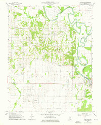
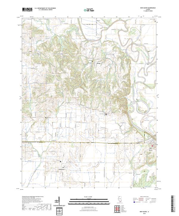
Editions of this 1949 New Haven Map
This is the sole edition of this map. No revisions or reprints were ever made.
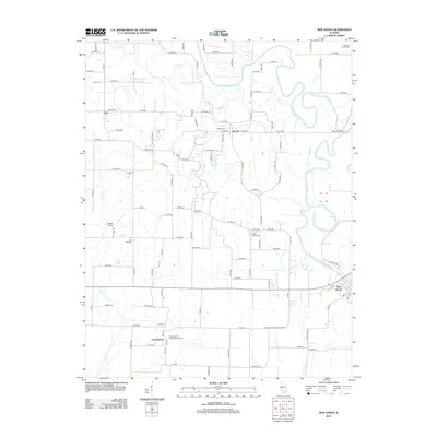
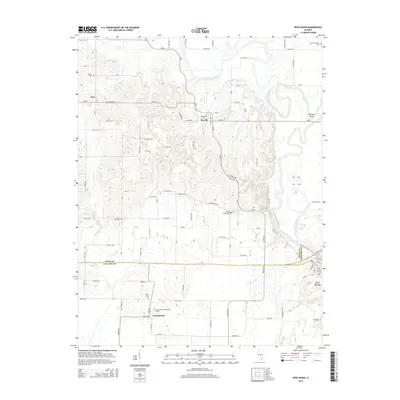
Historical Maps of Ridgway Through Time
9 maps found