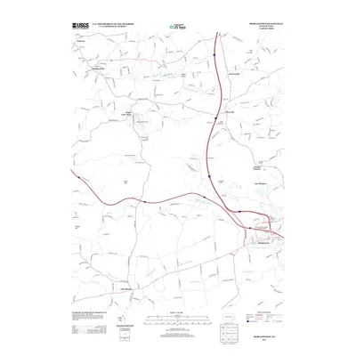
2013 Map of Morgantown
USGS Topo · Published 2013About this map
Joanna Furnace stands as a central historical landmark on this 2013 topographic landscape, anchoring a region defined by established village centers and winding waterways. The map illustrates the convergence of local geography at Morgantown, where the Pennsylvania Turnpike Interchange 22 connects the regional infrastructure to the headwaters of the W Br Conestoga River. To the west, the community of Churchtown sits near the banks of the Little Conestoga, while the northern reaches include small settlements such as Alleghenyville and Plowville. Cultural and recreational sites are well-represented, from the high-speed tracks of the Maple Grove Raceway and its adjacent Maple Grove Park Campground to the quiet grounds of Saint Monicas Camp and Saint Benedicts Picnic Ground. This area is characterized by a mix of residential growth and preserved historical sites, tracing the natural contours of Silver Hill and Turkey Hill.
Find a feature on this map
193 named features on this map. Tap any name to fly to it.
Don’t see what you’re looking for? This feature index may not catch every label — zoom into the map to look around manually.
Map Details
Editions of this 2013 Morgantown Map
This is the sole edition of this map. No revisions or reprints were ever made.
Other maps of this area

1894 · Reading
USGS Topo · 1:62,500

1902 · Wernersville
USGS Topo · 1:62,500

1905 · Honey Brook
USGS Topo · 1:62,500

1906 · New Holland
USGS Topo · 1:62,500

1907 · Honeybrook
USGS Topo · 1:62,500

1908 · New Holland
USGS Topo · 1:62,500

1913 · Reading
USGS Topo · 1:62,500

1915 · Reading
USGS Topo · 1:62,500

1941 · Honeybrook
USGS Topo · 1:62,500

1941 · New Holland
USGS Topo · 1:62,500
Featured Places
- East Earl Township, PA
- New Morgan, PA
- Brecknock Township, PA
- Plowville, Robeson Township
- Beckersville, Robeson Township