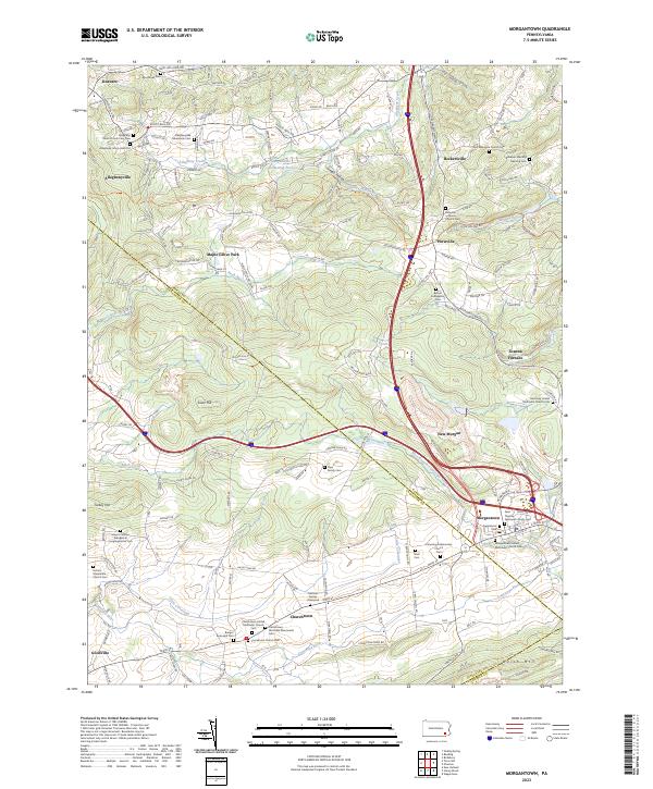
2023 Map of Morgantown
USGS Topo · Published 2023About this map
Morgantown stands at the historical intersection of trade and travel where the West Branch Conestoga River originates. This region is a significant cultural landscape for Pennsylvania German genealogy, featuring an exceptional concentration of early religious sites like Saint Thomas Episcopal Church Cem and the Zion Mennonite Church Cem. The terrain rises toward Welsh Mtn and Silver Hill, while the valleys are marked by centuries-old farmsteads and family burial grounds such as the Styer Family Cem and the Hertzler Family Graveyard. To the northeast, Joanna Furnace serves as a reminder of the iron industry that once dominated the Berks County hills. The map captures a transition between the established crossroad settlements of Churchtown and Goodville and the modern recreational landscape of Maple Grove Park.
Find a feature on this map
173 named features on this map. Tap any name to fly to it.
Don’t see what you’re looking for? This feature index may not catch every label — zoom into the map to look around manually.
Map Details
Editions of this 2023 Morgantown Map
This is the sole edition of this map. No revisions or reprints were ever made.
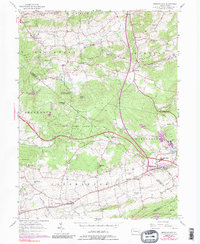
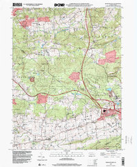
Historical Maps of Alleghenyville Through Time
3 maps found
Featured Locations
- East Earl Township, PA
- Brecknock Township, PA
- New Morgan, PA
- Plowville, Robeson Township
- Beckersville, Robeson Township