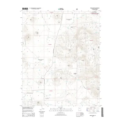
2014 Map of Moritz Ridge
USGS Topo · Published 2014About this map
Pumpkin Center sits as a central landmark in this high-altitude landscape where the Coconino National Forest and Kaibab National Forest meet. The terrain is characterized by volcanic features and significant ridgelines, including the namesake Moritz Ridge, Sheep Hill, and Bull Basin Mesa. Water management is a critical theme of this environment, evidenced by a dense network of tanks and small lakes such as Rabbit Lake, Dry Lake, and Fay Lake, which support the region's ranching or wildlife needs. Traces of historical transit are preserved in the local road network, most notably the Beale Wagon Rd., a legacy route that cuts through the southwestern corner of the quadrangle. Other old thoroughfares like the Old "790" Rd. and Bellemont-Moritz Rd. illustrate how travelers navigated this plateau of knolls and washes, connecting remote outposts to larger Arizona settlements.
Find a feature on this map
74 named features on this map. Tap any name to fly to it.
Don’t see what you’re looking for? This feature index may not catch every label — zoom into the map to look around manually.
Map Details
Editions of this 2014 Moritz Ridge Map
This is the sole edition of this map. No revisions or reprints were ever made.
Other maps of this area

1886 · San Francisco Mtns
USGS Topo · 1:250,000

1886 · Chino
USGS Topo · 1:250,000

1891 · San Francisco Mtns
USGS Topo · 1:250,000

1891 · Chino
USGS Topo · 1:250,000

1894 · San Francisco Mtns
USGS Topo · 1:250,000

1899 · San Francisco Mtns
USGS Topo · 1:250,000

1908 · Flagstaff
USGS Topo · 1:125,000

1912 · Flagstaff
USGS Topo · 1:125,000

1922 · Williams
USGS Topo · 1:125,000

1947 · Flagstaff
USGS Topo · 1:250,000