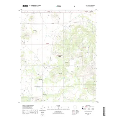
2018 Map of Moritz Ridge
USGS Topo · Published 2018About this map
Pumpkin Center and Spring Valley occupy a high-elevation landscape defined by the intersection of the Coconino National Forest and Kaibab National Forest. This 2018 survey reveals an intricate network of historical transportation routes, most notably the Beale Wagon Road, which traverses the southern portion of the sheet alongside more modern tracks like the Bellemont-Moritz Rd. and Indian Tank Rd. The terrain is heavily marked by volcanic and erosional features such as Potato Hill, Spud Hill, and the prominent Moritz Ridge. Water management is a primary characteristic of the region, shown through an extensive system of catchment tanks like Perregault Tank, Caporal Tank, and Newman Tank. These features, along with natural landmarks like Rabbit Lake and Fay Lake, illustrate the vital importance of water security for land use within this forested corridor.
Find a feature on this map
70 named features on this map. Tap any name to fly to it.
Don’t see what you’re looking for? This feature index may not catch every label — zoom into the map to look around manually.
Map Details
Editions of this 2018 Moritz Ridge Map
This is the sole edition of this map. No revisions or reprints were ever made.
Other maps of this area

1886 · San Francisco Mtns
USGS Topo · 1:250,000

1886 · Chino
USGS Topo · 1:250,000

1891 · San Francisco Mtns
USGS Topo · 1:250,000

1891 · Chino
USGS Topo · 1:250,000

1894 · San Francisco Mtns
USGS Topo · 1:250,000

1899 · San Francisco Mtns
USGS Topo · 1:250,000

1908 · Flagstaff
USGS Topo · 1:125,000

1912 · Flagstaff
USGS Topo · 1:125,000

1922 · Williams
USGS Topo · 1:125,000

1947 · Flagstaff
USGS Topo · 1:250,000