2024 Map of Morrisonville
USGS Topo · Published 2024About this map
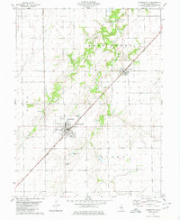
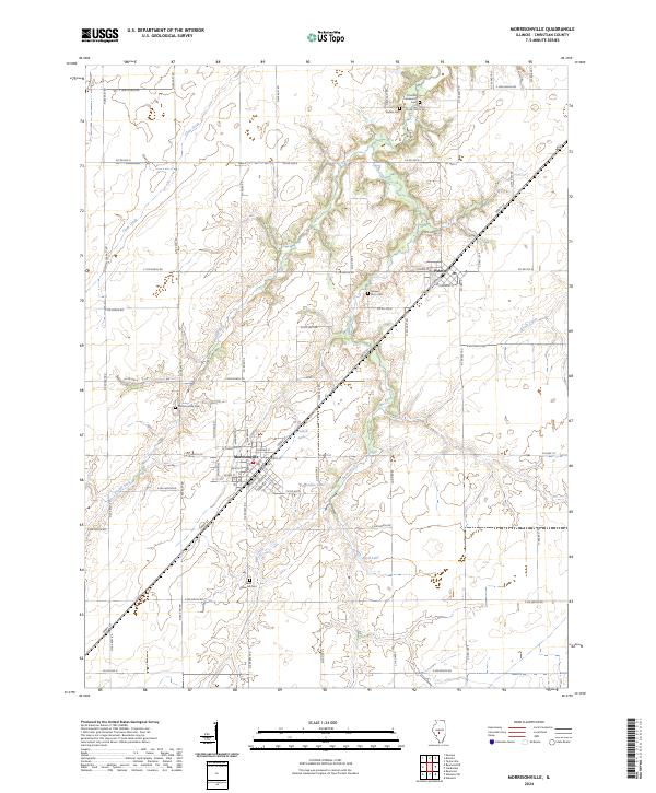
Morrisonville and Palmer serve as the primary hubs in this central Illinois landscape, defined by a grid of agricultural roads and winding waterway systems. The village of Morrisonville features a dense residential grid, including streets like Wyandotte St and N Monroe St, centered around its local Po and commercial center. This 2024 survey documents a territory punctuated by several small reservoirs such as Trulock Lake, Paradise Lake, and Boyd Lake, which provide a contrast to the surrounding farmland drained by the Prairie Fork and Bear Creek. Genealogists and local historians will find significant value in the documentation of numerous burial sites scattered across the township, including the Saint Maurice Cem south of town and the curiously named Harpers Ferry Cem near Palmer, preserving the locations of community heritage sites amidst the prairie.
Find a feature on this map
75 named features on this map. Tap any name to fly to it.
Don’t see what you’re looking for? This feature index may not catch every label — zoom into the map to look around manually.
Map Details
Editions of this 2024 Morrisonville Map
This is the sole edition of this map. No revisions or reprints were ever made.
Historical Maps of Palmer Through Time
3 maps found