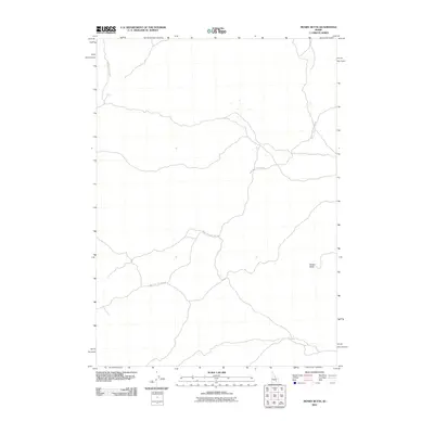
2010 Map of Mosby Butte
USGS Topo · Published 2010About this map
Mosby Butte rises as the primary landmark in this section of the Idaho desert, situated within the remote high-desert plains of Blaine County. The landscape is defined by its volcanic origins and the sparse network of thoroughfares that cross the terrain. Major access routes include the Bear Trap Lava Tube Rd, which winds across the central and southern portions of the map, and the Minidoka To Arco Rd, tracing a path along the western edge. These roads represent the primary human imprint on a land characterized by unique geological formations. The orientation of these travel corridors highlights the historical transit patterns between regional outposts, providing a clear view of the area's geography before more modern developments might have altered these traditional tracks.
Find a feature on this map
3 named features on this map. Tap any name to fly to it.
Don’t see what you’re looking for? This feature index may not catch every label — zoom into the map to look around manually.
Map Details
Editions of this 2010 Mosby Butte Map
This is the sole edition of this map. No revisions or reprints were ever made.
Other maps of this area

1954 · Pocatello
USGS Topo · 1:250,000

1955 · Idaho Falls
USGS Topo · 1:250,000

1958 · Idaho Falls
USGS Topo · 1:250,000

1958 · Pocatello
USGS Topo · 1:250,000

1972 · Antelope Lake
USGS Topo · 1:24,000

1972 · Split Top
USGS Topo · 1:24,000

1972 · Bear Trap Cave
USGS Topo · 1:24,000

1972 · Mule Butte
USGS Topo · 1:24,000

1972 · Mosby Well
USGS Topo · 1:24,000

1972 · Mosby Butte
USGS Topo · 1:24,000