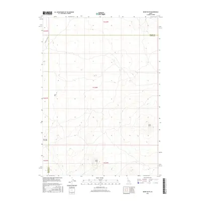
2017 Map of Mosby Butte
USGS Topo · Published 2017About this map
Great Rift volcanic terrain dominates this high-desert landscape on the border of Blaine Co and Power Co. This 2017 survey details a stark geologic environment where prominent landmarks like Mosby Butte and Horse Butte rise above the surrounding lava fields. The presence of the Bear Trap Lava Tube in the southwestern quadrant underscores the area's complex subterranean structure. Human passage through this remote section of Idaho is primarily marked by the historic Minidoka to Arco Rd, which cuts across the northwestern corner of the quadrangle. The map serves as a precise record of township and range divisions, including t4s r28e, in a region defined more by its natural volcanic history than by dense settlement.
Find a feature on this map
12 named features on this map. Tap any name to fly to it.
Don’t see what you’re looking for? This feature index may not catch every label — zoom into the map to look around manually.
Map Details
Editions of this 2017 Mosby Butte Map
This is the sole edition of this map. No revisions or reprints were ever made.
Other maps of this area

1954 · Pocatello
USGS Topo · 1:250,000

1955 · Idaho Falls
USGS Topo · 1:250,000

1958 · Idaho Falls
USGS Topo · 1:250,000

1958 · Pocatello
USGS Topo · 1:250,000

1972 · Antelope Lake
USGS Topo · 1:24,000

1972 · Split Top
USGS Topo · 1:24,000

1972 · Bear Trap Cave
USGS Topo · 1:24,000

1972 · Mule Butte
USGS Topo · 1:24,000

1972 · Mosby Well
USGS Topo · 1:24,000

1972 · Mosby Butte
USGS Topo · 1:24,000