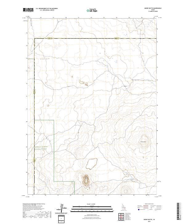
2023 Map of Mosby Butte
USGS Topo · Published 2023About this map
Great Rift geometry dominates this 2023 survey of the high desert along the border of Blaine and Power counties. This arid landscape is characterized by volcanic landforms, notably the prominent cinder cone of Mosby Butte and the nearby Horse Butte. A significant portion of the southwestern corner is protected as part of the Craters of the Moon National Preserve, reflecting the unique geological heritage of the Snake River Plain. Human presence is sparse, marked primarily by the lonely transit of the Minidoka to Arco Rd as it cuts across the northern terrain. The map provides a clear record of section lines and township boundaries that organize this largely unpopulated expanse of public and private land.
Find a feature on this map
6 named features on this map. Tap any name to fly to it.
Don’t see what you’re looking for? This feature index may not catch every label — zoom into the map to look around manually.
Map Details
Editions of this 2023 Mosby Butte Map
This is the sole edition of this map. No revisions or reprints were ever made.
Other maps of this area

1954 · Pocatello
USGS Topo · 1:250,000

1955 · Idaho Falls
USGS Topo · 1:250,000

1958 · Idaho Falls
USGS Topo · 1:250,000

1958 · Pocatello
USGS Topo · 1:250,000

1972 · Antelope Lake
USGS Topo · 1:24,000

1972 · Split Top
USGS Topo · 1:24,000

1972 · Bear Trap Cave
USGS Topo · 1:24,000

1972 · Mule Butte
USGS Topo · 1:24,000

1972 · Mosby Well
USGS Topo · 1:24,000

1972 · Mosby Butte
USGS Topo · 1:24,000