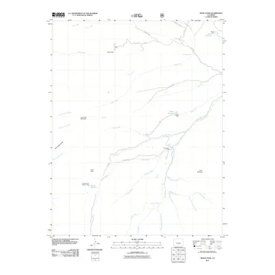
2011 Map of Mosca Pass
USGS Topo · Published 2011About this map
Mosca Pass and the surrounding high-altitude drainage basins define this landscape at the intersection of water management and mountain terrain. In the southern portion of the quadrangle, the Huerfano River system is heavily articulated, showing the South Fork Huerfano River, Central Branch, and Dutch Creek feeding into the main valley. Evidence of 20th-century water engineering is prominent, with the Sierra Blanco Number 1 Dam creating the Montez Reservoir and the Wilson Dam containing Wilson Reservoir to the north.
Find a feature on this map
42 named features on this map. Tap any name to fly to it.
Don’t see what you’re looking for? This feature index may not catch every label — zoom into the map to look around manually.
Map Details
Editions of this 2011 Mosca Pass Map
This is the sole edition of this map. No revisions or reprints were ever made.
Other maps of this area

1889 · Huerfano Park
USGS Topo · 1:125,000

1892 · Huerfano Park
USGS Topo · 1:125,000

1954 · Trinidad
USGS Topo · 1:250,000

1955 · Trinidad
USGS Topo · 1:250,000

1958 · Trinidad
USGS Topo · 1:250,000

1959 · Trinidad
USGS Topo · 1:250,000

1965 · Zapata Ranch
USGS Topo · 1:24,000

1965 · Twin Peaks
USGS Topo · 1:24,000

1967 · Mosca Pass
USGS Topo · 1:24,000
1967 · Blanca Peak
USGS Topo · 1:24,000