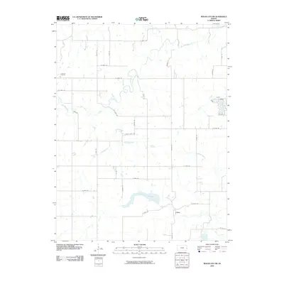
2009 Map of Mound City NW
USGS Topo · Published 2009About this map
Big Sugar Creek and its many tributaries, including Coffeebean Creek and Alexander Branch, carve a complex drainage pattern through this rural Kansas landscape. The area is defined by a grid of section-line roads like Farris Rd and Ingraham Rd, which serve a scattered network of farmsteads and the small settlements of Critzer, Hilltop, and Omega. Genealogy researchers will find the Centerville Cemetery at the western edge, a primary landmark for local family history. The topography reveals the transition between upland prairie and the bottomlands of the North Fork Little Sugar Creek, where a large body of water has been impounded in the southern half of the quadrangle. This 2009 survey reflects the persistent agricultural character of Linn County, where traditional land divisions remain the primary structure for habitation and transport.
Find a feature on this map
41 named features on this map. Tap any name to fly to it.
Don’t see what you’re looking for? This feature index may not catch every label — zoom into the map to look around manually.
Map Details
Editions of this 2009 Mound City NW Map
This is the sole edition of this map. No revisions or reprints were ever made.
Other maps of this area

1885 · Garnett
USGS Topo · 1:125,000

1887 · Mound City
USGS Topo · 1:125,000

1893 · Mound City
USGS Topo · 1:125,000

1894 · Garnett
USGS Topo · 1:125,000

1947 · Lawrence
USGS Topo · 1:250,000

1950 · Lawrence
USGS Topo · 1:250,000

1956 · Lawrence
USGS Topo · 1:250,000

1958 · La Cygne
USGS Topo · 1:24,000
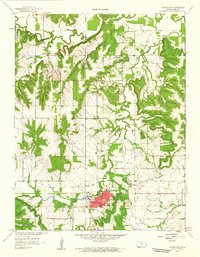
1958 · Mound City
USGS Topo · 1:24,000
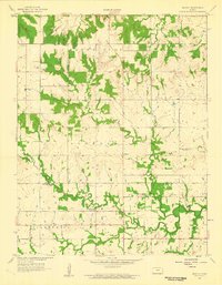
1958 · Mantey
USGS Topo · 1:24,000