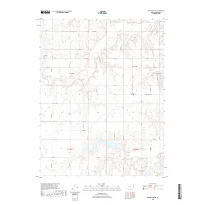
2018 Map of Mound City NW
USGS Topo · Published 2018About this map
Big Sugar Creek and its many winding tributaries, including N Sugar Cr and Turkey Creek, define the topography of this section of Linn County. The landscape is a network of rural roads such as W 1350th Rd and Flint Rd that follow the section lines of the Public Land Survey System, a pattern typical of the Kansas plains. Cultural history is anchored by small burial grounds like Centerville Cem in the northwest and Wesley Chapel Cem near the center, serving the surrounding agricultural community. In the southern reaches, the forks of the Little Sugar Creek converge, with the N Fork Little Sugar Cr and S Fork Little Sugar Cr meeting near the settlement of Critzer. The northern edge of Mound City appears in the southeast, where Bucks Creek and Doe Creek drain toward the town center.
Find a feature on this map
58 named features on this map. Tap any name to fly to it.
Don’t see what you’re looking for? This feature index may not catch every label — zoom into the map to look around manually.
Map Details
Editions of this 2018 Mound City NW Map
This is the sole edition of this map. No revisions or reprints were ever made.
Other maps of this area

1885 · Garnett
USGS Topo · 1:125,000

1887 · Mound City
USGS Topo · 1:125,000

1893 · Mound City
USGS Topo · 1:125,000

1894 · Garnett
USGS Topo · 1:125,000

1947 · Lawrence
USGS Topo · 1:250,000

1950 · Lawrence
USGS Topo · 1:250,000

1956 · Lawrence
USGS Topo · 1:250,000

1958 · La Cygne
USGS Topo · 1:24,000
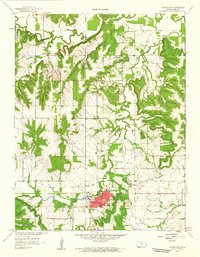
1958 · Mound City
USGS Topo · 1:24,000
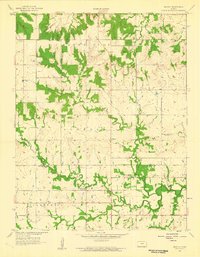
1958 · Mantey
USGS Topo · 1:24,000