2022 Map of Mound City NW
USGS Topo · Published 2022About this map
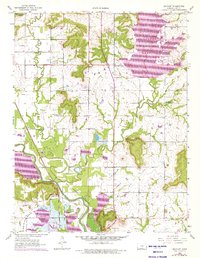
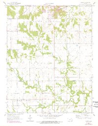
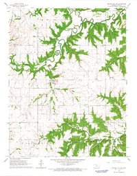
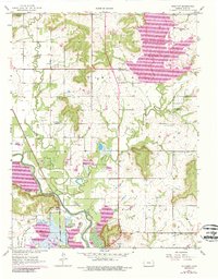
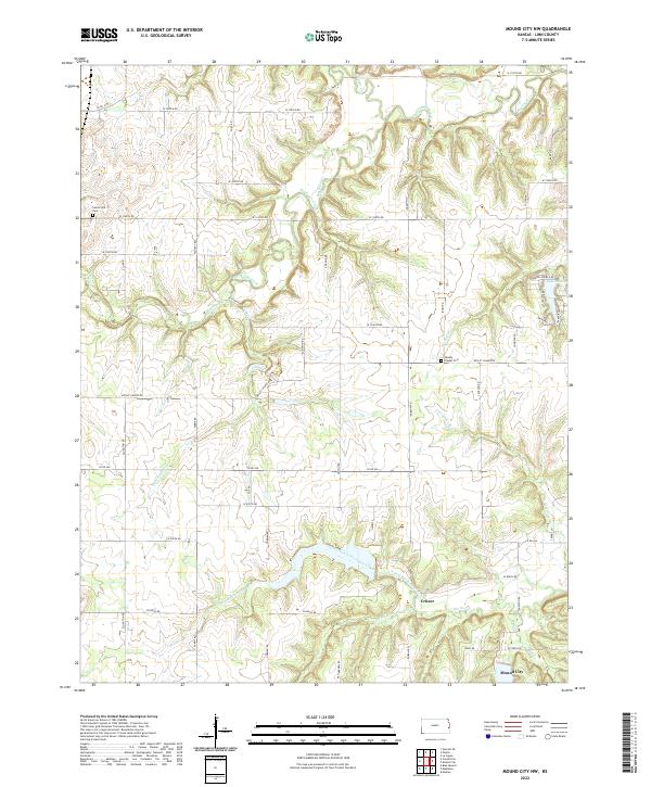
Mound City sits at the southern edge of this landscape, where the prairie begins to break into the complex drainage networks of the Sugar Creek system. The terrain is defined by the winding paths of Big Sugar Creek in the north and the multi-branched North Fork Little Sugar Creek and S Fork Little Sugar Cr to the south. Small settlements like Critzer are linked by a grid of rural routes such as Co RD 556 and Wesley Chapel Rd, reflecting the enduring agricultural character of Linn County. For genealogists, the placement of the Wesley Chapel Cem and Centerville Cem provide specific points of interest for local family histories. The presence of Lake De Lag and numerous smaller tributaries like Coffeebean Cr and Alexander Br illustrates a landscape deeply shaped by its local hydrology and rural development.
Find a feature on this map
62 named features on this map. Tap any name to fly to it.
Don’t see what you’re looking for? This feature index may not catch every label — zoom into the map to look around manually.
Map Details
Editions of this 2022 Mound City NW Map
This is the sole edition of this map. No revisions or reprints were ever made.
Historical Maps of Mound City Through Time
7 maps found