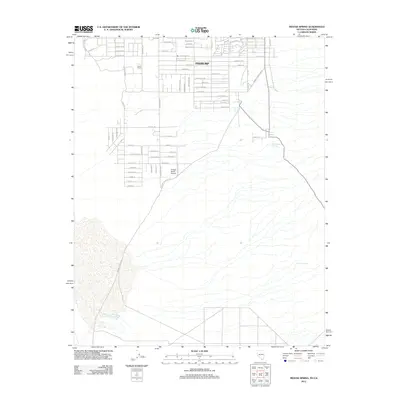
2012 Map of Mound Spring
USGS Topo · Published 2012About this map
Pahrump serves as the focal point of this 2012 study, revealing a desert landscape where modern residential planning meets historical ranching roots. The map documents an extensive grid of streets such as Navajo Blvd and Paiute Blvd, while established sites like Ward Ranch and the Chicken Ranch Airport reflect the area's varied land use. To the east and south, the arid environment of the Mesquite Valley is punctuated by vital water sources, including Mound Spring, Cottonwood Spring, and Browns Spring. This era captures the significant suburban expansion into the high desert, evidenced by the dense network of named avenues and drives that push toward the basin's edge near Indian Reservation Rd.
Find a feature on this map
67 named features on this map. Tap any name to fly to it.
Don’t see what you’re looking for? This feature index may not catch every label — zoom into the map to look around manually.
Map Details
Editions of this 2012 Mound Spring Map
This is the sole edition of this map. No revisions or reprints were ever made.
Other maps of this area

1907 · Las Vegas
USGS Topo · 1:250,000

1908 · Furnace Creek
USGS Topo · 1:250,000

1908 · Las Vegas
USGS Topo · 1:250,000

1910 · Furnace Creek
USGS Topo · 1:250,000

1910 · Ivanpah
USGS Topo · 1:250,000

1912 · Ivanpah
USGS Topo · 1:250,000

1933 · Avawatz Mountains
USGS Topo · 1:250,000

1942 · Ivanpah
USGS Topo · 1:250,000

1947 · Trona
USGS Topo · 1:250,000

1947 · Kingman
USGS Topo · 1:250,000