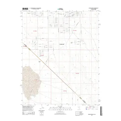
2014 Map of Mound Spring
USGS Topo · Published 2014About this map
Pahrump serves as the focal point of this arid landscape, where the southern reaches of the Mojave Desert meet the expansive Pahrump Valley. The map documents a structured grid of residential streets such as E Bridger St, Thorne Dr, and Rawhide Ln, illustrating the ongoing human presence in this desert environment. This development pattern contrasts sharply with the open, undeveloped terrain that straddles the Nevada-California border and the Nye-Inyo county line.
Find a feature on this map
94 named features on this map. Tap any name to fly to it.
Don’t see what you’re looking for? This feature index may not catch every label — zoom into the map to look around manually.
Map Details
Editions of this 2014 Mound Spring Map
This is the sole edition of this map. No revisions or reprints were ever made.
Other maps of this area

1907 · Las Vegas
USGS Topo · 1:250,000

1908 · Furnace Creek
USGS Topo · 1:250,000

1908 · Las Vegas
USGS Topo · 1:250,000

1910 · Furnace Creek
USGS Topo · 1:250,000

1910 · Ivanpah
USGS Topo · 1:250,000

1912 · Ivanpah
USGS Topo · 1:250,000

1933 · Avawatz Mountains
USGS Topo · 1:250,000

1942 · Ivanpah
USGS Topo · 1:250,000

1947 · Trona
USGS Topo · 1:250,000

1947 · Kingman
USGS Topo · 1:250,000