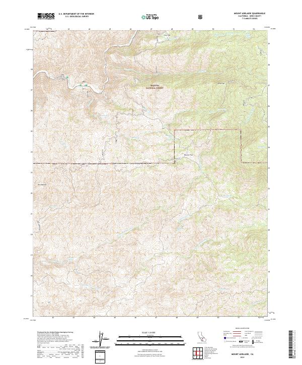
2021 Map of Mount Adelaide
USGS Topo · Published 2021About this map
Mt Adelaide and the surrounding southern Sierra Nevada peaks define the elevation in this remote corner of the Sequoia National Forest. The landscape is a network of named flats and seasonal water sources, where the Kern River cuts through the northwest corner near CA State Rte 178. High mountain meadows and plateaus like Cow Flat, Pine Flat, and Hoosier Flat suggest the area's history as grazing or forest service land. Numerous remote springs, including the descriptively named Pigpen Spring, Sheep Troughs Spring, and Coyote Spring, are scattered across the slopes, indicating vital watering points in an otherwise arid montane environment. Local roads like Breckenridge Rd navigate the steep drainage systems of N Fork Cottonwood Cr and Rattlesnake Cr, providing access to these isolated natural landmarks.
Find a feature on this map
34 named features on this map. Tap any name to fly to it.
Don’t see what you’re looking for? This feature index may not catch every label — zoom into the map to look around manually.
Map Details
Editions of this 2021 Mount Adelaide Map
This is the sole edition of this map. No revisions or reprints were ever made.
Other maps of this area

1914 · Caliente
USGS Topo · 1:125,000

1920 · Delonagha
USGS Topo · 1:62,500

1926 · Glennville
USGS Topo · 1:62,500

1929 · Bena
USGS Topo · 1:31,680

1931 · Edison
USGS Topo · 1:31,680

1932 · Bena
USGS Topo · 1:31,680

1932 · Woody
USGS Topo · 1:62,500

1935 · Woody
USGS Topo · 1:62,500

1936 · Tobias Peak
USGS Topo · 1:125,000

1943 · Breckenridge Mountain
USGS Topo · 1:62,500