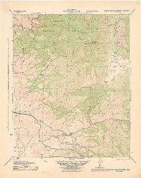
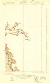
1943 Map of Breckenridge Mountain
USGS Topo · Published 1943About this map
Sequoia National Forest and the peaks of the southern Sierra Nevada dominate this 1943 survey, showing a landscape defined by ranching, mining, and the critical rail corridor of the Southern Pacific. In the high country, Breckenridge Mountain features the Breckenridge Fire Tower and the Breckenridge Lodge (Abandoned), while the foothills are dotted with legacy family holdings like Williams Ranch, Gundry Ranch, and Rankin Ranch.
Find a feature on this map
55 named features on this map. Tap any name to fly to it.
Don’t see what you’re looking for? This feature index may not catch every label — zoom into the map to look around manually.
Map Details
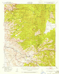
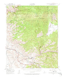
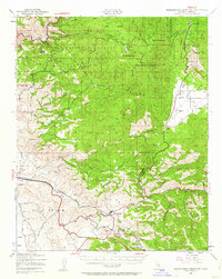
Editions of this 1943 Breckenridge Mountain Map
4 editions found
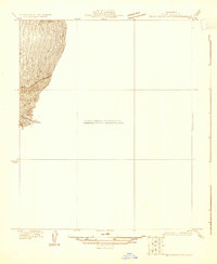
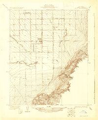
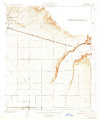
Other maps of this area

1906 · Kernville
USGS Topo · 1:125,000

1908 · Kernville
USGS Topo · 1:125,000

1914 · Caliente
USGS Topo · 1:125,000

1915 · Mojave
USGS Topo · 1:125,000

1920 · Delonagha
USGS Topo · 1:62,500

1926 · Glennville
USGS Topo · 1:62,500
1929 · Bena
USGS Topo · 1:31,680
1930 · Bear Mountain
USGS Topo · 1:31,680
1930 · Arvin
USGS Topo · 1:31,680
1931 · Edison
USGS Topo · 1:31,680