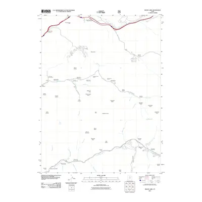
2011 Map of Mount Aire
USGS Topo · Published 2011About this map
Maxfield Mine and Baker Mine sit as reminders of the extraction history within these canyons of the Wasatch Range. The drainage systems of Mill Creek and Big Cottonwood Creek define the landscape, creating a network of steep forks and gulches that host numerous recreation sites, including The Spruces Campground and the George Washington Memorial Grove. Transportation through the high passes is represented by Lower Parleys Cyn and Lambs Canyon Rd, while smaller routes like Porter Fork Rd provide access to the interior basins. Water features are prominent throughout the terrain, from the Mountain Dell Dam in the north to the distinctive Doughnut Falls and Hidden Falls along the southern creek beds. Notable peaks such as Mount Raymond and Kesler Peak anchor the topography, overseeing a region transitioning from its mining roots to a hub for outdoor activity.
Find a feature on this map
70 named features on this map. Tap any name to fly to it.
Don’t see what you’re looking for? This feature index may not catch every label — zoom into the map to look around manually.
Map Details
Editions of this 2011 Mount Aire Map
This is the sole edition of this map. No revisions or reprints were ever made.
Other maps of this area
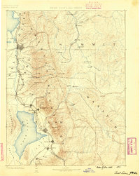
1885 · Salt Lake
USGS Topo · 1:250,000
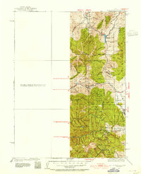
1925 · Ft. Douglas
USGS Topo · 1:125,000
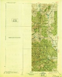
1928 · Ft. Douglas
USGS Topo · 1:125,000
1950 · Fort Douglas
USGS Topo · 1:24,000
1951 · Fort Douglas
USGS Topo · 1:24,000
1952 · Sugar House
USGS Topo · 1:24,000
1952 · Draper
USGS Topo · 1:24,000
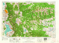
1954 · Salt Lake City
USGS Topo · 1:250,000
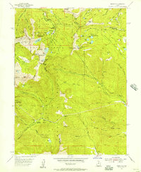
1955 · Brighton
USGS Topo · 1:24,000
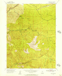
1955 · Mount Aire
USGS Topo · 1:24,000