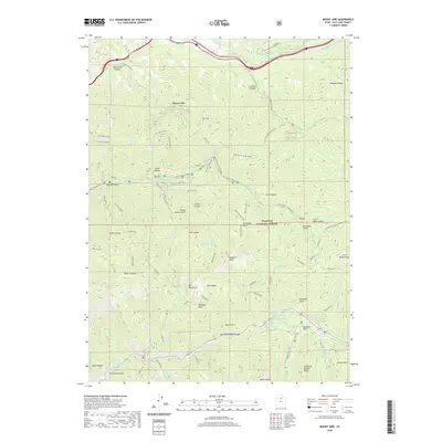
2020 Map of Mount Aire
USGS Topo · Published 2020About this map
Mount Aire dominates this high-altitude landscape in the Wasatch National Forest, where steep drainages and jagged crests define the terrain of the central Wasatch Range. The map details a complex network of canyons and peaks, including Gobblers Knob and Mt Raymond, which separate the major watersheds of Mill Creek and Big Cottonwood Canyon. The presence of several springs and alpine features, such as Thousand Springs and the popular Dog Lake, highlights the area's role as a vital water source and recreational hub near Salt Lake County's urban edge.
Find a feature on this map
68 named features on this map. Tap any name to fly to it.
Don’t see what you’re looking for? This feature index may not catch every label — zoom into the map to look around manually.
Map Details
Editions of this 2020 Mount Aire Map
This is the sole edition of this map. No revisions or reprints were ever made.
Other maps of this area

1885 · Salt Lake
USGS Topo · 1:250,000

1925 · Ft. Douglas
USGS Topo · 1:125,000

1928 · Ft. Douglas
USGS Topo · 1:125,000

1950 · Fort Douglas
USGS Topo · 1:24,000

1951 · Fort Douglas
USGS Topo · 1:24,000

1952 · Sugar House
USGS Topo · 1:24,000
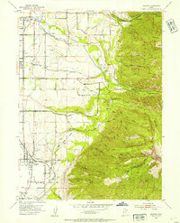
1952 · Draper
USGS Topo · 1:24,000

1954 · Salt Lake City
USGS Topo · 1:250,000

1955 · Brighton
USGS Topo · 1:24,000

1955 · Mount Aire
USGS Topo · 1:24,000