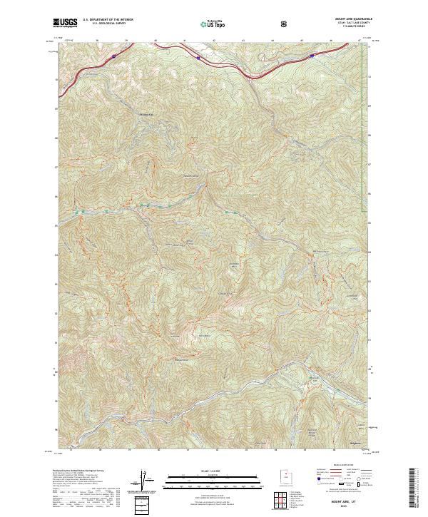
2023 Map of Mount Aire
USGS Topo · Published 2023About this map
Wasatch National Forest dominates this topographic study of the high-elevation terrain east of Salt Lake City, where deep canyons and prominent peaks define the landscape. The map details the transition from the Parleys Canyon corridor in the north, carrying Interstate 80, to the high alpine environments of the Mount Olympus Wilderness and Twin Peaks Wilderness. Key water features like Big Cottonwood Creek and Mill Creek have carved significant drainages such as Big Cottonwood Canyon and Mill Creek Canyon, which serve as primary conduits for both local geography and recreation. Researchers will find a dense network of trails, including the Desolation Trl and Mill Creek Ski Trl, connecting landmarks like Dog Lake and Doughnut Falls. The settlement of Brighton appears in the southeast, situated near Greens Basin and Reed and Benson Ridge, illustrating the area's long-standing role as a mountain retreat.
Find a feature on this map
73 named features on this map. Tap any name to fly to it.
Don’t see what you’re looking for? This feature index may not catch every label — zoom into the map to look around manually.
Map Details
Editions of this 2023 Mount Aire Map
This is the sole edition of this map. No revisions or reprints were ever made.
Other maps of this area

1885 · Salt Lake
USGS Topo · 1:250,000

1925 · Ft. Douglas
USGS Topo · 1:125,000

1928 · Ft. Douglas
USGS Topo · 1:125,000

1950 · Fort Douglas
USGS Topo · 1:24,000

1951 · Fort Douglas
USGS Topo · 1:24,000

1952 · Sugar House
USGS Topo · 1:24,000
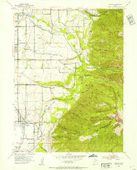
1952 · Draper
USGS Topo · 1:24,000

1954 · Salt Lake City
USGS Topo · 1:250,000

1955 · Brighton
USGS Topo · 1:24,000

1955 · Mount Aire
USGS Topo · 1:24,000