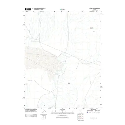
2011 Map of Mount Annie
USGS Topo · Published 2011About this map
The high peaks of the Monte Cristo Mountains and the prominent summit of Mount Annie anchor this high-desert landscape in Nye County. Water is the defining constraint of the terrain, marked by scattered vital points such as Cold Springs, Wedell Springs, and Rawhide Hot Springs. These desert reaches were navigated by trail and intermittent drainages like Phillips Wash, which cuts across the basin floor toward the Black Hills in the south. The mapping of Mud Windmill suggests the enduring necessity of cattle ranching or range management infrastructure in an environment where natural surface water is rare. The structural character of the land is further defined by Fissure Ridge, providing a detailed look at the geological features that have historically influenced movement and settlement patterns throughout this corner of Nevada.
Find a feature on this map
9 named features on this map. Tap any name to fly to it.
Don’t see what you’re looking for? This feature index may not catch every label — zoom into the map to look around manually.
Map Details
Editions of this 2011 Mount Annie Map
This is the sole edition of this map. No revisions or reprints were ever made.
Other maps of this area

1908 · Carson Sink
USGS Topo · 1:250,000

1909 · Hawthorne
USGS Topo · 1:250,000

1910 · Carson Sink
USGS Topo · 1:250,000

1911 · Hawthorne
USGS Topo · 1:250,000

1915 · Hawthorne
USGS Topo · 1:250,000

1948 · Walker Lake
USGS Topo · 1:250,000

1957 · Walker Lake
USGS Topo · 1:250,000

1957 · Reno
USGS Topo · 1:250,000

1959 · Reno
USGS Topo · 1:250,000

1960 · Reno
USGS Topo · 1:250,000