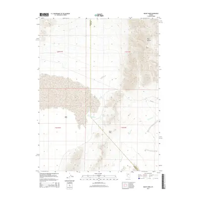
2014 Map of Mount Annie
USGS Topo · Published 2014About this map
Monte Cristo Mountains dominate the eastern reaches of this high-desert landscape on the border of Mineral and Nye Counties. This 2014 survey captures a terrain defined by arid basins and thermal activity, most notably at Rawhide Hot Springs and Wedell Springs situated along the edge of the Gabbs Valley. The topographic detail reveals the complex drainage patterns of Phillips Wash and the distinct volcanic or tectonic character of Fissure Ridge. Rising above the surrounding flats, Mt Annie serves as the primary landmark for the quadrangle, which remains largely undeveloped except for remote desert tracks like Del Vega St. The map illustrates the sparse but critical water sources that have historically dictated human and animal passage through this part of the Great Basin.
Find a feature on this map
15 named features on this map. Tap any name to fly to it.
Don’t see what you’re looking for? This feature index may not catch every label — zoom into the map to look around manually.
Map Details
Editions of this 2014 Mount Annie Map
This is the sole edition of this map. No revisions or reprints were ever made.
Other maps of this area

1908 · Carson Sink
USGS Topo · 1:250,000

1909 · Hawthorne
USGS Topo · 1:250,000

1910 · Carson Sink
USGS Topo · 1:250,000

1911 · Hawthorne
USGS Topo · 1:250,000

1915 · Hawthorne
USGS Topo · 1:250,000

1948 · Walker Lake
USGS Topo · 1:250,000

1957 · Walker Lake
USGS Topo · 1:250,000

1957 · Reno
USGS Topo · 1:250,000

1959 · Reno
USGS Topo · 1:250,000

1960 · Reno
USGS Topo · 1:250,000