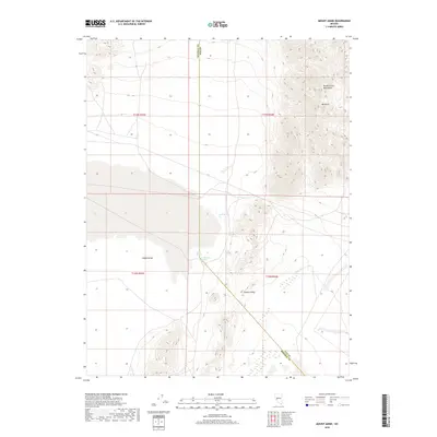
2018 Map of Mount Annie
USGS Topo · Published 2018About this map
Gabbs Valley forms the central basin of this high-desert landscape on the border of Nye and Mineral Counties. The terrain is dominated by the Monte Cristo Mountains to the northeast, rising toward the summit of Mt Annie. This region is defined by its water sources, which serve as vital landmarks in an otherwise arid environment. Thermal activity is evident at Rawhide Hot Springs, situated alongside Wedell Springs at the valley's edge. To the south, Fissure Ridge stands as a prominent geological feature, while Phillips Wash and Cold Springs provide drainage and seasonal hydration points. The map illustrates a remote intersection of township boundaries and natural springs, reflecting the sparse yet essential infrastructure of the Nevada Great Basin.
Find a feature on this map
14 named features on this map. Tap any name to fly to it.
Don’t see what you’re looking for? This feature index may not catch every label — zoom into the map to look around manually.
Map Details
Editions of this 2018 Mount Annie Map
This is the sole edition of this map. No revisions or reprints were ever made.
Other maps of this area

1908 · Carson Sink
USGS Topo · 1:250,000

1909 · Hawthorne
USGS Topo · 1:250,000

1910 · Carson Sink
USGS Topo · 1:250,000

1911 · Hawthorne
USGS Topo · 1:250,000

1915 · Hawthorne
USGS Topo · 1:250,000

1948 · Walker Lake
USGS Topo · 1:250,000

1957 · Walker Lake
USGS Topo · 1:250,000

1957 · Reno
USGS Topo · 1:250,000

1959 · Reno
USGS Topo · 1:250,000

1960 · Reno
USGS Topo · 1:250,000