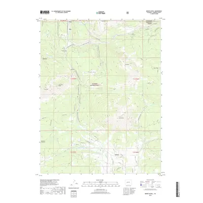
2019 Map of Mount Axtell
USGS Topo · Published 2019About this map
Mt Axtell and the high ridges of the Anthracite Range dominate this high-altitude landscape in the Gunnison National Forest. The settlement of Irwin and the nearby Irwin Cem sit at the northern edge of the map, connected by the historic Kebler Wagon Trail crossing Kebler Pass. To the south, the community of Baldwin lies near the headwaters of Ohio Creek, where a network of irrigation systems including the Acme Ditch and Castle Cr Number 1 Ditch support the valley's drainage. The terrain is marked by seasonal mobility, featuring extensive snowmobile and ski routes such as the Old Ohio Pass Ski trail and the Splains Gulch Snowmobile path, reflecting the region's transition from early wagon transport to modern mountain recreation.
Find a feature on this map
61 named features on this map. Tap any name to fly to it.
Don’t see what you’re looking for? This feature index may not catch every label — zoom into the map to look around manually.
Map Details
Editions of this 2019 Mount Axtell Map
This is the sole edition of this map. No revisions or reprints were ever made.
Other maps of this area

1888 · Crested Butte
USGS Topo · 1:62,500

1888 · Anthracite
USGS Topo · 1:62,500

1889 · Crested Butte
USGS Topo · 1:62,500

1889 · Anthracite
USGS Topo · 1:62,500

1893 · Anthracite
USGS Topo · 1:62,500

1893 · Crested Butte
USGS Topo · 1:62,500

1894 · Anthracite
USGS Topo · 1:62,500

1956 · Montrose
USGS Topo · 1:250,000

1959 · Montrose
USGS Topo · 1:250,000

1960 · Montrose
USGS Topo · 1:250,000