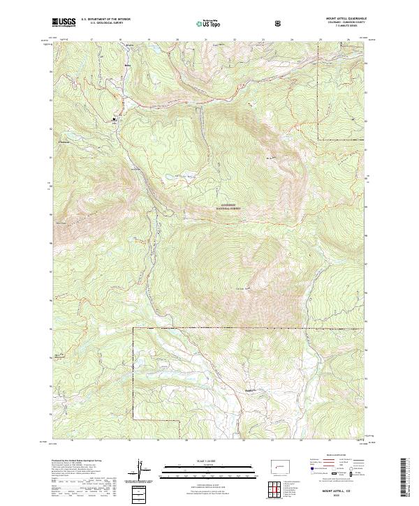
2022 Map of Mount Axtell
USGS Topo · Published 2022About this map
The high-altitude drainage basins of Gunnison National Forest define this landscape, where the Anthracite Range and Mt Axtell separate the headwaters of Ohio Cr from the northern valleys. Small mountain settlements such as Irwin, Ruby, and Floresta are connected by a historical network of wagon roads and modern trails, reflecting the area's legacy of high-country transit and resource extraction. The presence of the Railroad Ski Trl and Old Ohio Pass Ski Trl highlights the transition of these old routes from industrial use to recreational corridors.
Find a feature on this map
65 named features on this map. Tap any name to fly to it.
Don’t see what you’re looking for? This feature index may not catch every label — zoom into the map to look around manually.
Map Details
Editions of this 2022 Mount Axtell Map
This is the sole edition of this map. No revisions or reprints were ever made.
Other maps of this area

1888 · Crested Butte
USGS Topo · 1:62,500

1888 · Anthracite
USGS Topo · 1:62,500

1889 · Crested Butte
USGS Topo · 1:62,500

1889 · Anthracite
USGS Topo · 1:62,500

1893 · Anthracite
USGS Topo · 1:62,500

1893 · Crested Butte
USGS Topo · 1:62,500

1894 · Anthracite
USGS Topo · 1:62,500

1956 · Montrose
USGS Topo · 1:250,000

1959 · Montrose
USGS Topo · 1:250,000

1960 · Montrose
USGS Topo · 1:250,000