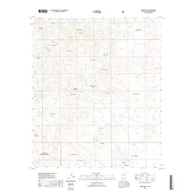
2020 Map of Mount Baldy
USGS Topo · Published 2020About this map
The Peloncillo Mountains dominate this high-desert landscape in the southwest corner of New Mexico, where the peaks of Eagle Mtn, Pyramid Mtn, and Mt Baldy define the horizon. This 2020 survey of the Coronado National Forest shows a rugged network of drainage systems and canyons, including the curiously named Post Office Canyon and Skull Canyon.
Find a feature on this map
37 named features on this map. Tap any name to fly to it.
Don’t see what you’re looking for? This feature index may not catch every label — zoom into the map to look around manually.
Map Details
Editions of this 2020 Mount Baldy Map
This is the sole edition of this map. No revisions or reprints were ever made.
Other maps of this area

1917 · Chiricahua
USGS Topo · 1:125,000

1918 · Animas Peak
USGS Topo · 1:62,500

1918 · Pratt
USGS Topo · 1:62,500

1919 · Pratt
USGS Topo · 1:62,500

1919 · Chiricahua
USGS Topo · 1:125,000

1920 · Animas Peak
USGS Topo · 1:62,500

1926 · Rodeo
USGS Topo · 1:62,500

1940 · Apache
USGS Topo · 1:62,500

1955 · Douglas
USGS Topo · 1:250,000

1958 · Apache
USGS Topo · 1:62,500