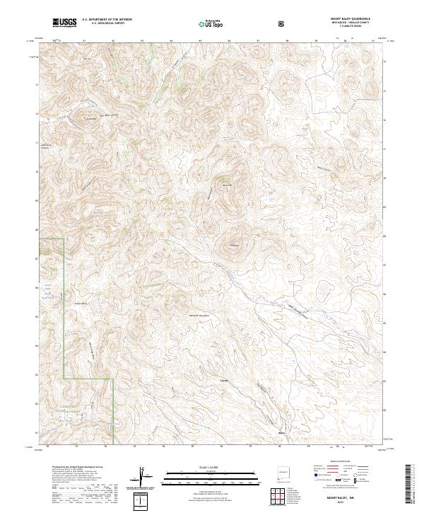
2023 Map of Mount Baldy
USGS Topo · Published 2023About this map
The Peloncillo Mountains dominate this high-desert corner of Hidalgo County, where the Coronado National Forest meets the Arizona border. This arid landscape is defined by its verticality, rising from canyon floors to prominent peaks like Mt Baldy, Eagle Mtn, and Pyramid Mtr. The scarcity of water is evident in the naming of ephemeral and managed water sources such as Maverick Spring, The Seep, and the Slover Tank.
Find a feature on this map
37 named features on this map. Tap any name to fly to it.
Don’t see what you’re looking for? This feature index may not catch every label — zoom into the map to look around manually.
Map Details
Editions of this 2023 Mount Baldy Map
This is the sole edition of this map. No revisions or reprints were ever made.
Other maps of this area

1917 · Chiricahua
USGS Topo · 1:125,000

1918 · Animas Peak
USGS Topo · 1:62,500

1918 · Pratt
USGS Topo · 1:62,500

1919 · Pratt
USGS Topo · 1:62,500

1919 · Chiricahua
USGS Topo · 1:125,000

1920 · Animas Peak
USGS Topo · 1:62,500

1926 · Rodeo
USGS Topo · 1:62,500

1940 · Apache
USGS Topo · 1:62,500

1955 · Douglas
USGS Topo · 1:250,000

1958 · Apache
USGS Topo · 1:62,500