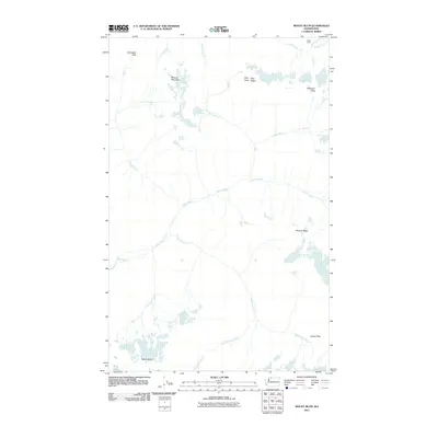
2011 Map of Mount Blum
USGS Topo · Published 2011About this map
Mount Blum and Whatcom Peak anchor this high-elevation wilderness in the early 21st century, where the headwaters of the Baker River carve through a landscape of permanent ice and steep drainages. The map details a complex network of glacial meltwater, with Bald Eagle Creek, Mineral Creek, and Picket Creek all feeding into the primary river valley. Human presence is sparse, represented primarily by Tapto Camp near the northern boundary, highlighting the area's use for backcountry recreation rather than industrial development.
Find a feature on this map
20 named features on this map. Tap any name to fly to it.
Don’t see what you’re looking for? This feature index may not catch every label — zoom into the map to look around manually.
Map Details
Editions of this 2011 Mount Blum Map
This is the sole edition of this map. No revisions or reprints were ever made.
Other maps of this area

1909 · Mt Baker
USGS Topo · 1:192,000

1915 · Mt. Baker
USGS Topo · 1:250,000

1952 · Lake Shannon
USGS Topo · 1:62,500

1953 · Mt Shuksan
USGS Topo · 1:62,500

1953 · Marblemount
USGS Topo · 1:62,500

1953 · Mt Challenger
USGS Topo · 1:62,500

1955 · Concrete
USGS Topo · 1:250,000

1958 · Concrete
USGS Topo · 1:250,000

1962 · Concrete
USGS Topo · 1:250,000

1979 · Mt. Baker
USGS Topo · 1:100,000