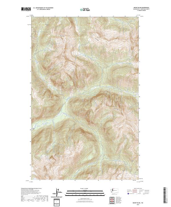
2023 Map of Mount Blum
USGS Topo · Published 2023About this map
Stephen Mather Wilderness and North Cascades National Park encompass this high-altitude landscape in northern Washington. The terrain is characterized by a series of steep drainages including Baker River, Bald Eagle Creek, and Pass Creek that flow beneath formidable peaks and ridges. High points like Mount Blum, Mineral Mtn, and Easy Peak dominate the skyline, while high-mountain passes such as Chilliwack Pass and Jasper Pass indicate the historical routes through this isolated part of the Cascade Range. The concentration of water features like Lonesome Creek and Picket Creek underscores the hydrological density of the region's wilderness, where few trails or human improvements are noted, preserving the character of the land as it appeared during the 2023 survey.
Find a feature on this map
21 named features on this map. Tap any name to fly to it.
Don’t see what you’re looking for? This feature index may not catch every label — zoom into the map to look around manually.
Map Details
Editions of this 2023 Mount Blum Map
This is the sole edition of this map. No revisions or reprints were ever made.
Other maps of this area

1909 · Mt Baker
USGS Topo · 1:192,000

1915 · Mt. Baker
USGS Topo · 1:250,000

1952 · Lake Shannon
USGS Topo · 1:62,500

1953 · Mt Shuksan
USGS Topo · 1:62,500

1953 · Marblemount
USGS Topo · 1:62,500

1953 · Mt Challenger
USGS Topo · 1:62,500

1955 · Concrete
USGS Topo · 1:250,000

1958 · Concrete
USGS Topo · 1:250,000

1962 · Concrete
USGS Topo · 1:250,000

1979 · Mt. Baker
USGS Topo · 1:100,000