2024 Map of Mount Carroll
USGS Topo · Published 2024About this map
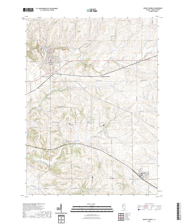
The Carroll County Courthouse stands as the civic centerpiece of Mount Carroll, overlooking a town layout defined by streets like E Washington St and Scenic Palisades Rd. The surrounding Illinois landscape is etched by the winding path of Carroll Creek and its tributaries, including Johnson Creek and Straddle Creek. This modern survey details a rural geography where family and community history is preserved across numerous small burial grounds, such as the Adam Daggert Cem, Oakville Cem, and Hope Brethren Cem. To the southeast, the village of Chadwick sits near the headwaters of Sand Creek, while the interior of the quadrangle is marked by Timber Lake and the small airfield at Tautz Airport. The road network, including Cyclone Ridge Rd and Arnolds Grove Rd, follows the rolling contours of the Driftless Area's edge.
Find a feature on this map
67 named features on this map. Tap any name to fly to it.
Don’t see what you’re looking for? This feature index may not catch every label — zoom into the map to look around manually.
Map Details
Editions of this 2024 Mount Carroll Map
This is the sole edition of this map. No revisions or reprints were ever made.
Historical Maps of Mount Carroll Through Time
1 maps found