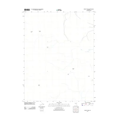
2011 Map of Mount Como
USGS Topo · Published 2011About this map
Mount Como rises above this high-desert landscape in Lyon County, marking a terrain defined by seasonal water sources and isolated settlements. The geography transitions from the elevated Sunrise Pass and Sunrise Basin in the northwest toward the expanse of Smiths Valley to the southeast. Water remains a critical element for local land use, evidenced by a series of numbered features including Fulstone Number One Spring, Fulstone Number Two Spring, and Fulstone Number Three Spring. Settlement patterns are sparse and tied to these resources, centered around Artesia, the J W Ranch, and the high-elevation Sunrise Camp. This 2011 survey documents the persistent ranching and mining-related infrastructure that characterizes this corner of the Nevada interior, where named springs and mountain passes dictate the movement of both people and livestock across the basin floor.
Find a feature on this map
11 named features on this map. Tap any name to fly to it.
Don’t see what you’re looking for? This feature index may not catch every label — zoom into the map to look around manually.
Map Details
Editions of this 2011 Mount Como Map
This is the sole edition of this map. No revisions or reprints were ever made.
Other maps of this area

1889 · Markleeville
USGS Topo · 1:125,000

1891 · Carson
USGS Topo · 1:125,000

1891 · Markleeville
USGS Topo · 1:125,000

1891 · Wabuska
USGS Topo · 1:125,000

1891 · Wellington
USGS Topo · 1:125,000

1893 · Carson
USGS Topo · 1:125,000

1893 · Markleeville
USGS Topo · 1:125,000

1893 · Wellington
USGS Topo · 1:125,000

1894 · Wabuska
USGS Topo · 1:125,000

1948 · Walker Lake
USGS Topo · 1:250,000