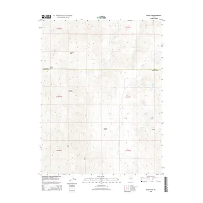
2014 Map of Mount Como
USGS Topo · Published 2014About this map
Mt Como stands as a prominent landmark in this high-desert landscape of western Nevada, where the boundaries of Lyon and Douglas counties meet. The topography is dominated by the Pine Nut Mountains and the Buckskin Range, creating a complex system of ridges and basins. To the east, the settlement of Artesia sits on the edge of Smiths Valley, reflecting the region's reliance on localized water sources such as Willow Spring and the Fulstone Number Two Spring.
Find a feature on this map
21 named features on this map. Tap any name to fly to it.
Don’t see what you’re looking for? This feature index may not catch every label — zoom into the map to look around manually.
Map Details
Editions of this 2014 Mount Como Map
This is the sole edition of this map. No revisions or reprints were ever made.
Other maps of this area

1889 · Markleeville
USGS Topo · 1:125,000

1891 · Carson
USGS Topo · 1:125,000

1891 · Markleeville
USGS Topo · 1:125,000

1891 · Wabuska
USGS Topo · 1:125,000

1891 · Wellington
USGS Topo · 1:125,000

1893 · Carson
USGS Topo · 1:125,000

1893 · Markleeville
USGS Topo · 1:125,000

1893 · Wellington
USGS Topo · 1:125,000

1894 · Wabuska
USGS Topo · 1:125,000

1948 · Walker Lake
USGS Topo · 1:250,000