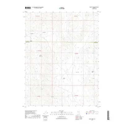
2018 Map of Mount Como
USGS Topo · Published 2018About this map
Mt Como rises as a prominent landmark in this high-desert landscape where the Buckskin Range and the Pine Nut Mountains meet. The terrain is defined by dramatic elevation changes, characterized by a series of north-south running canyons and basins, including Churchill Canyon and Eldorado Canyon. These natural corridors have historically dictated movement through the region, exemplified by Sunrise Pass and the broad Sunrise Basin to the north.
Find a feature on this map
20 named features on this map. Tap any name to fly to it.
Don’t see what you’re looking for? This feature index may not catch every label — zoom into the map to look around manually.
Map Details
Editions of this 2018 Mount Como Map
This is the sole edition of this map. No revisions or reprints were ever made.
Other maps of this area

1889 · Markleeville
USGS Topo · 1:125,000

1891 · Carson
USGS Topo · 1:125,000

1891 · Markleeville
USGS Topo · 1:125,000

1891 · Wabuska
USGS Topo · 1:125,000

1891 · Wellington
USGS Topo · 1:125,000

1893 · Carson
USGS Topo · 1:125,000

1893 · Markleeville
USGS Topo · 1:125,000

1893 · Wellington
USGS Topo · 1:125,000

1894 · Wabuska
USGS Topo · 1:125,000

1948 · Walker Lake
USGS Topo · 1:250,000