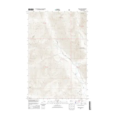
2014 Map of Mount David
USGS Topo · Published 2014About this map
Tall Timber Ranch occupies a rare level clearing within the high country of the Wenatchee National Forest, situated where the White River meets its southern tributaries. This glacial landscape is defined by massive formations like the White Mountains and Mt David, which separate the river valleys. The drainage system is intricate, featuring high-altitude catchments such as Lake Elsie and the Indian Ponds. The map illustrates a remote wilderness where human presence is largely limited to the White River Rd, which follows the river's path through the valley. Significant geographic markers including Wenatchee Ridge and Chiwawa Ridge dominate the horizons, while the Napeequa River joins from the north. The area's steep elevation changes are punctuated by hydrological features like White River Falls and numerous named drainages such as Panther Cr and Canyon Cr.
Find a feature on this map
23 named features on this map. Tap any name to fly to it.
Don’t see what you’re looking for? This feature index may not catch every label — zoom into the map to look around manually.
Map Details
Editions of this 2014 Mount David Map
This is the sole edition of this map. No revisions or reprints were ever made.
Other maps of this area

1899 · Glacier Peak
USGS Topo · 1:125,000

1901 · Glacier Peak
USGS Topo · 1:125,000

1901 · Chiwaukum
USGS Topo · 1:125,000

1902 · Skykomish
USGS Topo · 1:125,000

1902 · Stehekin
USGS Topo · 1:125,000

1904 · Stehekin
USGS Topo · 1:125,000

1904 · Chiwaukum
USGS Topo · 1:125,000

1905 · Skykomish
USGS Topo · 1:125,000

1944 · Holden
USGS Topo · 1:62,500

1949 · Holden
USGS Topo · 1:62,500