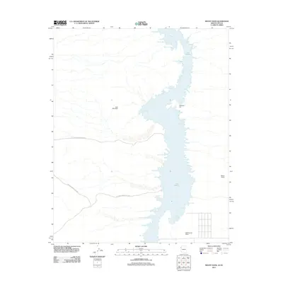
2011 Map of Mount Davis
USGS Topo · Published 2011About this map
Lake Mohave dominates this desert landscape along the border of Nevada and Arizona, representing a significant modern hydraulic feature of the Colorado River system. The map details the intricate shoreline of the reservoir, highlighting numerous named inlets such as Gold Spike Cove, Klondike Cove, and Painted Canyon Cove. These names often reflect the region's historical ties to mining and prospecting.
Find a feature on this map
27 named features on this map. Tap any name to fly to it.
Don’t see what you’re looking for? This feature index may not catch every label — zoom into the map to look around manually.
Map Details
Editions of this 2011 Mount Davis Map
This is the sole edition of this map. No revisions or reprints were ever made.
Other maps of this area

1886 · Camp Mohave
USGS Topo · 1:250,000

1892 · Camp Mohave
USGS Topo · 1:250,000

1926 · Nelson
USGS Topo · 1:96,000

1926 · Mohave City
USGS Topo · 1:96,000

1942 · Camp Mohave
USGS Topo · 1:250,000

1947 · Kingman
USGS Topo · 1:250,000

1948 · Kingman
USGS Topo · 1:250,000

1954 · Kingman
USGS Topo · 1:250,000

1955 · Kingman
USGS Topo · 1:250,000

1958 · Kingman
USGS Topo · 1:250,000