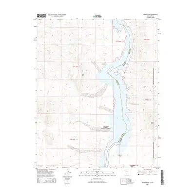
2014 Map of Mount Davis
USGS Topo · Published 2014About this map
Lake Mohave dominates this desert landscape, forming a narrow waterway that defines the boundary between Nevada and Arizona. This 2014 survey captures the rugged corridor within the Lake Mead National Recreation Area, where the Colorado River's impounded waters wind through steep terrain. On the Nevada side, the heights of Opal Mtn overlook the shoreline, while the Arizona banks are marked by prominent landmarks like Elephant Hill, Owl Point, and the namesake peak of Mount Davis. The topographic detail reveals the intricate drainage patterns of Cottonwood Valley as they descend toward the reservoir. This area, managed by the National Park Service, preserves a stark wilderness environment where modern recreational boundaries overlap with historic township and range divisions like t27s r66e and t26n r22w.
Find a feature on this map
15 named features on this map. Tap any name to fly to it.
Don’t see what you’re looking for? This feature index may not catch every label — zoom into the map to look around manually.
Map Details
Editions of this 2014 Mount Davis Map
This is the sole edition of this map. No revisions or reprints were ever made.
Other maps of this area

1886 · Camp Mohave
USGS Topo · 1:250,000

1892 · Camp Mohave
USGS Topo · 1:250,000

1926 · Nelson
USGS Topo · 1:96,000

1926 · Mohave City
USGS Topo · 1:96,000

1942 · Camp Mohave
USGS Topo · 1:250,000

1947 · Kingman
USGS Topo · 1:250,000

1948 · Kingman
USGS Topo · 1:250,000

1954 · Kingman
USGS Topo · 1:250,000

1955 · Kingman
USGS Topo · 1:250,000

1958 · Kingman
USGS Topo · 1:250,000