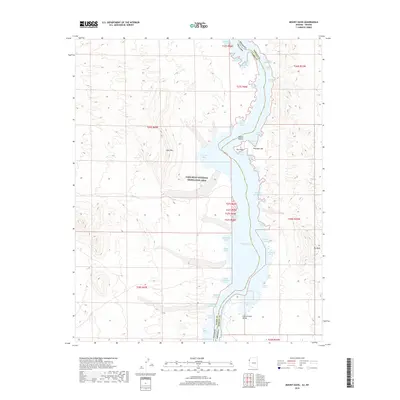
2018 Map of Mount Davis
USGS Topo · Published 2018About this map
Lake Mohave dominates the central corridor of this desert landscape, its winding shoreline carved into dozens of named inlets within the Lake Mead National Recreation Area. These coves, including Bonnie Brae Cove, Antelope Cove, and Klondike Cove, reveal a complex waterline where the Colorado River's impoundment meets the arid topography of the Mojave Desert. The map documents the state boundary between Nevada and Arizona as it follows the center of the lake, dividing Clark and Mohave counties. Landforms like Mt Davis and Opal Mtn provide significant elevation changes relative to the Cottonwood Valley floor. This 2018 survey serves as a precise record of the recreational geography and hydrography of the region, detailing numerous landmarks such as Elephant Hill and Owl Point that define the eastern and western banks of the reservoir.
Find a feature on this map
49 named features on this map. Tap any name to fly to it.
Don’t see what you’re looking for? This feature index may not catch every label — zoom into the map to look around manually.
Map Details
Editions of this 2018 Mount Davis Map
This is the sole edition of this map. No revisions or reprints were ever made.
Other maps of this area

1886 · Camp Mohave
USGS Topo · 1:250,000

1892 · Camp Mohave
USGS Topo · 1:250,000

1926 · Nelson
USGS Topo · 1:96,000

1926 · Mohave City
USGS Topo · 1:96,000

1942 · Camp Mohave
USGS Topo · 1:250,000

1947 · Kingman
USGS Topo · 1:250,000

1948 · Kingman
USGS Topo · 1:250,000

1954 · Kingman
USGS Topo · 1:250,000

1955 · Kingman
USGS Topo · 1:250,000

1958 · Kingman
USGS Topo · 1:250,000