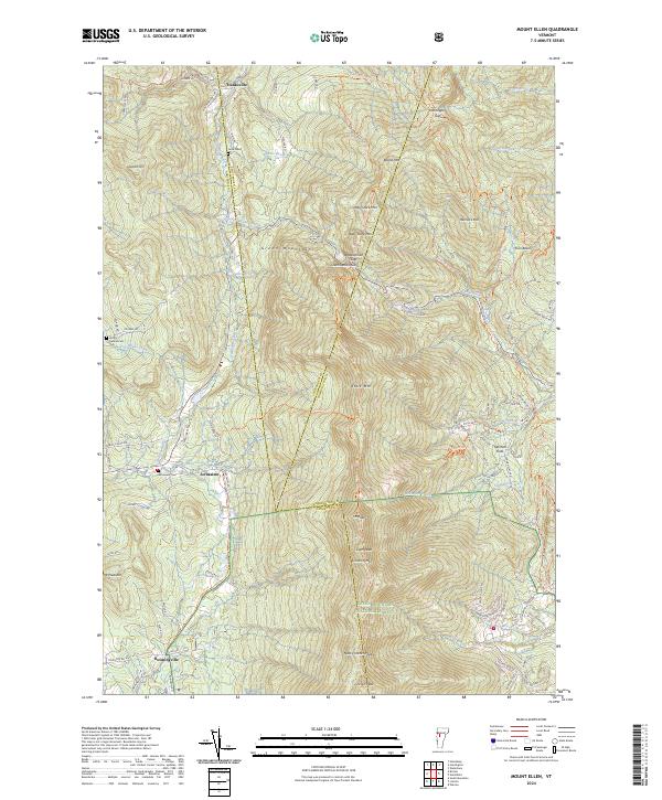
2024 Map of Mount Ellen
USGS Topo · Published 2024About this map
Green Mountain National Forest dominates this section of the Vermont landscape, where the ridges of the Green Mountains form a high-altitude spine between Addison, Chittenden, and Washington counties. The terrain is defined by prominent peaks including Mt Ellen, Stark Mtn, and Lincoln Peak, with the critical crossing at Appalachian Gap providing a passage through the high country. Small, historic settlements like Jerusalem, Hanksville, and Downingville sit in the lower elevations, often near the headwaters of numerous brooks such as Lewis Creek and Huntington River. Local history is preserved in small burial grounds like Little Ireland Cem and Jerusalem Cem, while the modern landscape shows the development of seasonal recreation near German Flats and the Sugarbush Access Rd. The map reveals the relationship between the steep mountain passes and the scattered valley hamlets that have long anchored this part of the state.
Find a feature on this map
79 named features on this map. Tap any name to fly to it.
Don’t see what you’re looking for? This feature index may not catch every label — zoom into the map to look around manually.
Map Details
Editions of this 2024 Mount Ellen Map
This is the sole edition of this map. No revisions or reprints were ever made.
Other maps of this area

1903 · Middlebury
USGS Topo · 1:62,500

1905 · Middlebury
USGS Topo · 1:62,500

1906 · Burlington
USGS Topo · 1:62,500

1919 · Burlington
USGS Topo · 1:62,500

1919 · Lincoln Mountain
USGS Topo · 1:62,500

1920 · Lincoln Mountain
USGS Topo · 1:48,000

1920 · Middlebury
USGS Topo · 1:62,500

1921 · Richmond
USGS Topo · 1:48,000

1921 · Lincoln Mountain
USGS Topo · 1:62,500

1924 · Camels Hump
USGS Topo · 1:62,500